
Orchards ZIP Code Coverage
Official sources support two codes as the main starting points and two more as boundary candidates only. This Orchards ZIP code directory keeps that distinction visible. It does not claim that every candidate polygon intersects the census-designated place. The final answer always comes from an address-level USPS result compared with Clark County's ZIP layer.
| ZIP | Orchards evidence | Postal point | How to treat it |
|---|---|---|---|
| 98662 | Orchards Community Park and a documented Maple Tree area parcel | Vancouver mailing label | Common local delivery area; verify the address |
| 98682 | East and southeast Vancouver area near the Orchards edge | Orchards Post Office, 11909 NE 65th St | Check USPS and the county polygon |
| 98686 | Northern Clark County candidate near Salmon Creek and Brush Prairie | Not confirmed in inspected official text | Use only when an address-level check returns it |
| 98606 | Candidate in broad regional mapping | Not confirmed for an Orchards intersection | Never use as the default code |
Codes 98662 and 98682 have direct local support. The other rows are prompts to test, not shortcuts to an occupant claim. New construction, rural delivery, and postal naming can produce an address result that a broad regional map misses.
Orchards ZIP Codes and Census Data
The Census Bureau counted 27,729 people and 9,722 residential units across the 5.35-square-mile Orchards CDP in 2020. Those totals describe the statistical place as a whole. They are not totals for 98662 or 98682, and they cannot be divided between those delivery areas without a supported geographic calculation. A ZIP code directory should keep census and postal measures in separate columns instead of assigning every Orchards resident to the best-known ZIP.
This distinction matters because the CDP grew from 19,556 people in 2010. New streets and development can change the practical address landscape while the familiar community name remains the same. QuickFacts also reports 85.1 percent of residents in the displayed 2020–2024 estimate lived in the same house one year earlier. That is an area-wide mobility measure, not proof that any named person remains at an address. It should never replace a dated parcel, voter, or directory result.
The county and postal sources answer different questions:
- Census TIGERweb defines the Orchards CDP boundary and GEOID 5351795.
- USPS confirms the standardized mailing line for one delivery point.
- Clark GIS shows the ZIP polygon and nearby county map layers.
- PIC ties the address to a parcel, situs, mailing fields, and jurisdiction.
Save the access date for each source. If a ZIP code result and the CDP boundary differ, report both. Record conflicts clearly. The mismatch is expected because one system organizes mail delivery and the other defines a census geography.
Verify an Orchards Mailing Line
USPS, the county map, and the parcel card describe separate facts. USPS standardizes delivery. Clark GIS places a point inside a postal polygon and can show nearby jurisdiction layers. The Property Information Center, or PIC, supplies the parcel situs, owner and mailing fields, legal description, jurisdiction, and parcel account number. Preserve all three results rather than forcing them into one label.
| Official source | Input | Result to save |
|---|---|---|
| USPS ZIP Lookup | House number, street, city, state | Standard delivery address and code |
| Clark ZIP layer | Map point or polygon Identify | ZIP attribute and adjacent polygons |
| Clark PIC | Full situs or PAN | Mailing, situs, parcel and jurisdiction facts |
A good worksheet states which source answered which question and the date it was checked. If the mailing city, ZIP polygon, and jurisdiction differ, keep each value. That difference is useful evidence, not an error to hide.
Search Orchards Residents by ZIP
A ZIP code works best as a first geographic filter. PIC and the Digital Archives land index did not expose a reliable ZIP-only field in the captured research. The official offender registry does allow a ZIP search, while voter data may include public address fields under Washington law. Those sources have distinct legal limits and cannot be merged into a presumed resident list.
- Enter the complete address in USPS ZIP Lookup and save its standardized result.
- Identify the point in Clark GIS and compare ZIP, city, CDP, and neighborhood layers.
- Search the exact situs or PAN in PIC and record the jurisdiction and mailing fields.
- For a named person, match name and date of birth through VoteWA before reading public voter fields.
- Date every result and follow the use terms of any registry or voter source.
A ZIP-wide result is not an exact address. Once the question narrows to a road, use the Orchards street directory for the street-level parcel and deed method. The point is to select the right custodian, not to turn postal geography into a claim about who lives at a property.
Orchards ZIP Search Fields
The official systems do not share one form, which is why the Orchards ZIP code directory uses a staged search. The postal tool verifies delivery, the map identifies polygons, the parcel system relies on an address or PAN, and historical land records begin with a party, year, or legal keyword.
| System | ZIP capability | Correct local use |
|---|---|---|
| USPS ZIP Lookup | Address, city and state return a delivery code | Confirm one mailing line |
| Clark GIS ZIP service | Query or Identify postal polygons | Compare a parcel with boundary layers |
| VoteWA and voter-file route | Public address may follow an identity match | Use name and birth date, subject to protection rules |
| Clark PIC | No text-captured ZIP-only mode | Search situs or PAN and then record its code |
| Digital Archives land index | No captured ZIP field | Use party, year, or legal terms and map the record |
An absent captured field does not prove a newer interactive screen never adds one. It means the routes above are the ones supported by the research. Keeping that line clear prevents a portal guess from becoming a false search instruction.
Orchards ZIPs Cross Civic Lines
Orchards is an unincorporated Clark County census-designated place, not a municipal government. A Vancouver postal city can point to a parcel outside Vancouver's incorporated boundary. The county's 2007 annexation blueprint divided the Orchards area into subareas with mixed service providers and listed annexation status as not applicable. Postal wording cannot by itself select a court, records office, or public service.
Geography check. Keep the mailing city and ZIP, parcel situs, county jurisdiction, CDP result, and neighborhood name in separate fields.
At boundary streets, turn on the city, ZIP, neighborhood, annexation, and parcel layers together. The map supplies context. The parcel record and filed instruments are stronger sources for ownership and legal description. Preserve any conflict until the responsible custodian resolves it.
- ZIP and ZIP+4
- The five-digit area covers delivery geography; four added digits narrow a segment, building, or group of boxes.
- PO-box ZIP
- A code or delivery pattern tied to post-office boxes rather than normal street delivery.
- Unique ZIP
- A code assigned to a high-volume organization instead of a general neighborhood.
- Carrier route
- A USPS delivery sequence within a postal area, which need not follow a civic boundary.
The research did not confirm an Orchards-only PO-box or unique code. These definitions explain types of result and are not local claims. Confirm such a result with USPS before using it in an address record.
Map Orchards Edge Addresses
Numbered northeast roads and directional prefixes can be more stable search keys than a mailing city. Begin with the exact source spelling, including NE, street type, and unit. Identify the taxlot in Clark GIS, then keep the ZIP polygon visible with the Orchards CDP, Vancouver boundary, neighborhood, and annexation layers.
Compare the PAN and legal description with the Auditor's recorded plat or deed index. A historical directory may use Vancouver, a rural route, or an older street form. Preserve the wording and year rather than silently modernizing the citation. No official street-renumbering history was found in the text research, so any changed number remains an open question until a directory, plat, deed, or agency file documents it.
The county's official ZIP service supplies the map layer pictured below. It adds geographic context, while USPS remains the source for current delivery formatting.
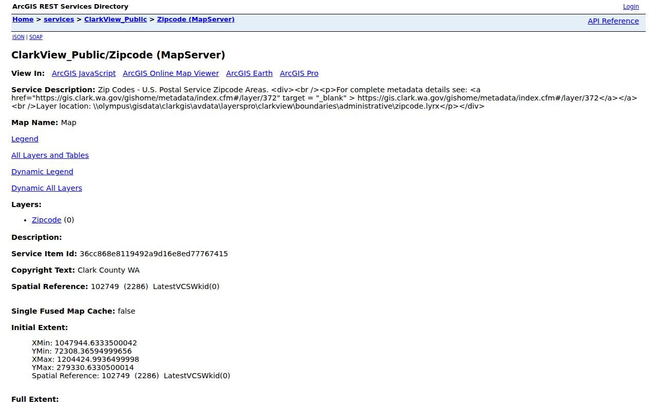
Save the layer name and date with the image. A screenshot without its source and access date is harder to reconcile when a boundary or portal changes.
Use ZIP Results Carefully
A postal code cannot prove current occupancy, ownership, municipal residence, or neighborhood membership. A parcel owner may live elsewhere, a voter address can be protected or dated, and a Vancouver mailing line can belong to unincorporated Orchards. Even two official results may represent different moments.
Use only the public facts needed for a lawful personal, family-history, property, or civic question. Never turn a registry hundred block, voter field, or mailing address into a tool to watch, harass, threaten, or harm someone. For a correction, contact the custodian that owns the field. Washington uses record-specific safeguards such as the Address Confidentiality Program, protected-voter procedures, court sealing, and agency redaction rules rather than a single universal removal switch.