
Walk an Orchards Street Record
Begin with the exact site address shown on a bill, letter, deed, or parcel card. Clark County calls the physical location the situs address. It is the safest way into an Orchards street directory because it avoids guessing from a person's name. Normalize the house number, unit, direction, street name, type, ZIP, and postal city before comparing records. Keep each source date, too. A parcel card supports ownership and land facts for its assessment cycle, while a directory supports an address association only in its publication year.
The useful chain moves from a place to a parcel, then to recorded people and documents. Do not turn an ownership record into a claim of occupancy. Instead, label each finding as owner of record, owner mailing address, historical directory entry, public voter field, or permit party.
- Enter the normalized address in the Clark County Property Information Center, or PIC. Save the nine-digit property account number, called a PAN, plus the situs, legal description, owner, mailing address, sales, and jurisdiction.
- Open Clark GIS MapsOnline. Turn on taxlot, aerial, annexation, ZIP, neighborhood, and permit layers, then use Identify on the subject parcel and nearby lots.
- Search the Clark County Auditor index by parcel, legal description, party, or instrument. Record each document type and date before drawing a conclusion.
- Use VoteWA only for a person whose matching name and birth date are known, or follow the lawful list-request route. Treat the displayed address as a dated registration fact.
- For earlier households, inspect the verified directory years and other local-history sources. A reverse or criss-cross section arranges entries by street and number.
If PIC rejects an address, do not force a near match. Use MapsOnline, zoom to the property, select Identify, and follow the parcel-report link. County lobby computers provide the separate owner-name search that is not presented as an unrestricted remote PIC function.
Search Orchards Streets in PIC
The Clark County Property Information Center accepts either a PAN or an address. Address entry is exacting, which is useful on the numbered roads around Orchards. Preserve a leading zero in a PAN, keep a unit or subaddress, and never drop NE or NW. The public instructions document common types such as ST, AV, CT, and CR.
| PIC field | Input | Requirement | Street-search note |
|---|---|---|---|
| Property account | Nine-digit PAN | PAN or address | Keep leading zeroes. |
| House number | One to six digits | Address path | Use the situs number. |
| Subaddress | Letter or unit | Optional | County instructions use F as an example. |
| Direction | NE, NW, E, N, S, SW | When present | A wrong prefix can select another road. |
| Street name and type | Text plus type | Address path | Match the county format. |
| Situs and mailing | Result fields | Output | Keep them in separate columns. |
PIC can return the legal description, assessed values, sales, tax status, zoning and planning context, jurisdiction, and links toward recorded documents. Its owner field identifies a recorded property interest, not who sleeps at the address. The Assessor says open data is updated weekly, so note both the access date and the value year.
Map Orchards Streets Parcel by Parcel
Clark County GIS MapsOnline turns one street address into a map-based parcel list. Use Identify on the subject taxlot, then click adjacent parcels along the same road. Current and historical aerials add physical context. Other county layers show recent sales, subdivisions, permits, schools, utilities, electoral boundaries, ZIP areas, neighborhood associations, and annexation or city limits.
The map is especially important in Orchards because the community is an unincorporated census-designated place within the Vancouver urban growth area. A Vancouver mailing line does not prove that a parcel sits inside Vancouver. Compare the city boundary with the parcel jurisdiction before choosing a permit office or city record source.
The county map index is also the fallback when PIC's web form or CAPTCHA blocks access. GIS support is listed at 564-397-2002 extension 4652 and GISTechSupport@clark.wa.gov. An Identify popup is a research lead, not a survey or legal boundary opinion.
The official GIS entry is shown in this Orchards street directory capture.
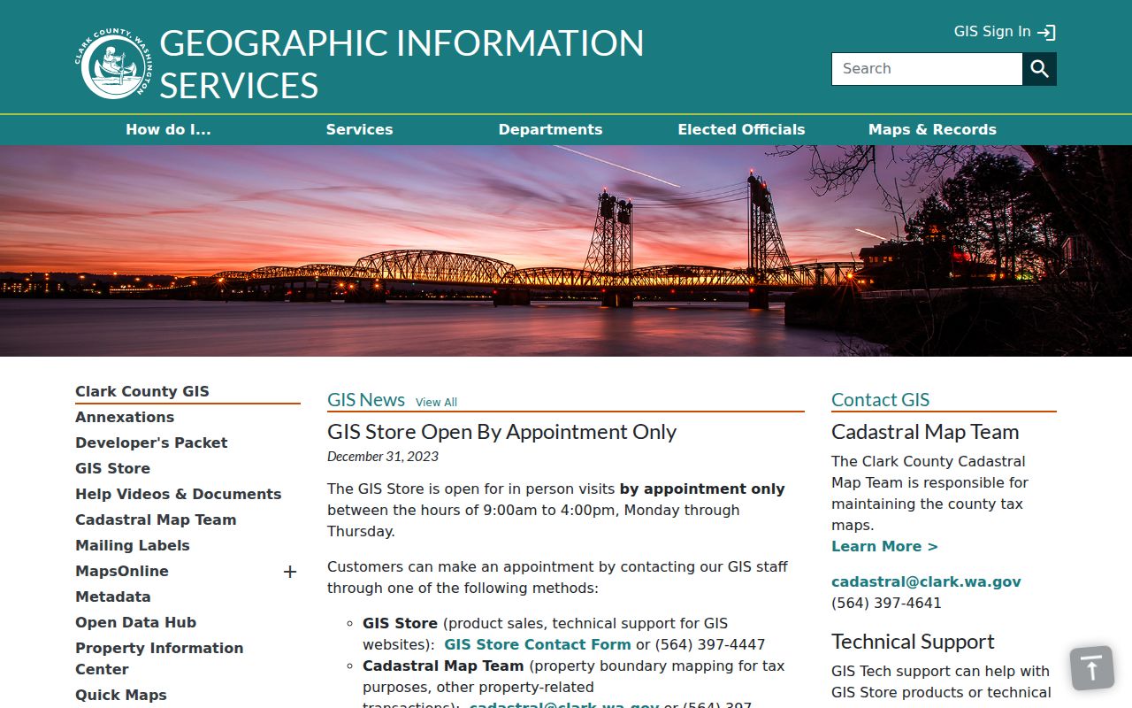
The captured gateway is where parcel, ZIP, neighborhood, and jurisdiction layers can be brought into the same address check.
Read Orchards Street Fields Correctly
Several short labels carry most of the work in a by-address search. Define them before building a spreadsheet or sharing a family-history note.
- Parcel or taxlot
- A mapped unit used for tax and land records. It may be a home lot, common tract, road right-of-way, utility site, or commercial parcel.
- Situs address
- The physical site address. It can differ from the owner's mailing address and from a postal city label.
- Plat
- A recorded map that divides land into lots and blocks. A short plat is a smaller recorded division.
- Criss-cross directory
- A directory section arranged by street and house number rather than by surname.
The official sample parcel makes the distinction plain. Its site is 11413 NE 76th Street with Vancouver 98662 as the mailing line, but its jurisdiction is Clark County and its neighborhood field is Maple Tree. The owner is an LLC with a Santa Barbara mailing address. The parcel is commercial acreage, not a household. Those fields cannot be collapsed into one answer about residency.
Insider tip. Broad owner-name property searching is available on Clark County Joint Lobby self-service computers, while the public web workflow is organized around address or PAN.
Orchards Street Directory Sources
No single county file lists everyone along an Orchards road. The practical street directory joins address-keyed sources while keeping their meanings distinct. Online searches are only one route. The county also documents map support, lobby terminals, Auditor counter and mail service, library research, and Public Records Act requests to the department that holds an unindexed record.
| Address source | Clark keeper | Public result | Other access |
|---|---|---|---|
| Assessor parcel | Clark County Assessor | Owner, situs, mailing, legal, sales, status | PIC, map Identify, lobby terminal, PRA request |
| GIS taxlot | Clark County GIS | Parcel shape, layers, nearby lots, aerial date | MapsOnline and GIS support |
| Recorded documents | Clark County Auditor | Parties, instrument, type, date, parcel or legal | LandmarkWeb, Digital Archives, counter, mail |
| Permits | Clark County Community Development | Application, address, project, dates and status | Public portal or department PRA request |
| Voter data | Clark Elections and Secretary of State | Only fields made public by Washington law | VoteWA match or lawful list request |
| Historical address | State Library, CCHM, CCGS, FVRL | Directory entry or other dated local-history clue | Appointment, research visit, licensed database |
The PAN and legal description are the strong links between the parcel roll and land instruments. A normalized street address connects permits and directory entries. A name plus date of birth may support an individual VoteWA check, but Washington protects original voter forms and protected-voter addresses. Absence from one surface is not proof of absence from Orchards.
Follow Orchards Addresses Into Deeds
The Clark County Auditor LandmarkWeb index searches by name, document, excise number, book and page, parcel ID, record-date range, instrument number, or legal description. Start with the PAN and legal description from PIC. Save the instrument number, date, type, grantor, grantee, and any book/page or excise reference for each relevant hit.
A grantor transfers an interest; a grantee receives it. Follow the latest grantee backward by searching that party as a grantee in an older range. Then compare the prior legal description. Plats, short plats, lot mergers, estates, trusts, and LLCs can create apparent breaks. An easement, lien, reconveyance, or release does not by itself identify an owner or occupant.
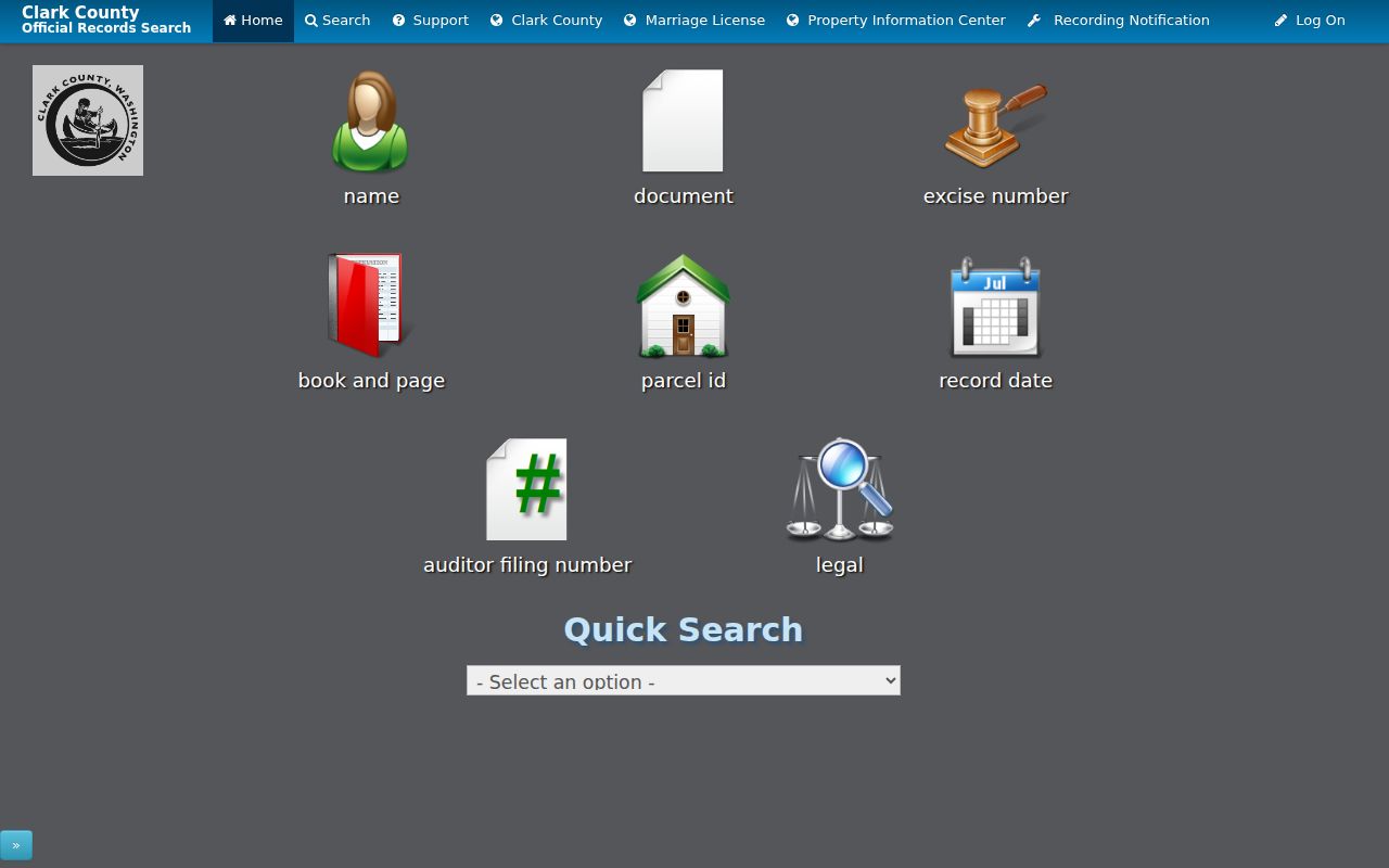
The image represents a searchable index, not a certified record. Certified and non-certified copies come from the Auditor counter or mail request process.
Check Orchards Permits by Address
The Clark County permits portal accepts building and fire searches by address, permit number, contractor, date, or project name. Land-development searches can use application number, date, address, or owner. A permit may document work, an application, a contractor, or a named owner at a particular date. It does not prove who occupied the site.
When the interactive portal does not expose the needed result, request the actual record from Community Development under the Washington PRA. Clark County's general records page explains that the agency will respond within five business days by producing the record, acknowledging with an estimate, seeking clarification, or citing an exemption. Route court, vital, and specialized records to their own custodians instead.
Note: Save the permit number, project type, status, source address spelling, and access date before attaching it to a parcel timeline.
Separate Orchards Street Geographies
Orchards is a Census Bureau CDP, not a city with its own clerk. One address can therefore carry a Vancouver postal city, an Orchards census-place context, Clark County jurisdiction, a ZIP polygon, a school area, and a county neighborhood label. Those layers serve different purposes. The 2007 Vancouver annexation blueprint also describes Greater Brush Prairie, Heritage, and Sifton subareas and a mixed service pattern, with annexation status listed as NA.
Compare the Clark GIS city boundary and ZIP layer with USPS ZIP Code Lookup. The best-documented local mailing ZIP is 98662, while addresses near the east and southeast edge may require a 98682 check. Do not assign 98686 or 98606 to Orchards without address-level GIS and USPS evidence.
Boundary check. A Vancouver mailing line, ZIP, school area, or neighborhood label does not prove that an Orchards parcel lies inside Vancouver city limits.
Use Orchards Streets in Directories
A reverse directory can supply a dated household or business association after the modern parcel has been identified. The verified Clark County runs at the Washington State Library are 1918-1919, 1921, 1928-1929, 1931, and 1934. Clark County Historical Museum confirms Polk City Directories, but its public page does not state a complete year run. Inspect each volume before claiming an address appears.
Search the street-and-number section when one exists, copy the entry and source page, then check the alphabetic section. Bridge the result to the parcel by legal description, plat, deed, census, obituary, or newspaper notice. The collections and their access rules are treated in depth on the Orchards city directory page.
No official Orchards renumbering table or complete historical street-alias index was found. If an old number seems to differ, document it through a dated plat, permit, deed legal description, directory, or assessor history. Never fill a missing publication year with the current owner's name.
Limits of an Orchards Street Directory
A street directory assembled from official sources is not a complete roster of current residents. Parcel records name owners and mailing contacts. Recorded documents identify transaction parties. Permits name people or firms tied to a project. Historical directories reflect a print date, and voter information reflects registration data subject to Washington limits. None guarantees that every person in a household appears.
Protected voters and participants in Washington's Address Confidentiality Program may be withheld or represented by a substitute address. Original voter registration forms and additional identifiers are not ordinary public fields. A county neighborhood popup provides an association name and public contact, not a member list. Likewise, an aerial image can show a structure but cannot establish who was there.
Use narrow labels and cite the custodian. For a whole named street, record what each source confirms and leave other facts open. If the task shifts to verifying one named person, the Orchards resident lookup has the better workflow.
Lawful use. Consult Orchards address records only for lawful personal, family-history, property, or civic research. Never use them to stalk, harass, threaten, impersonate, or harm anyone.